
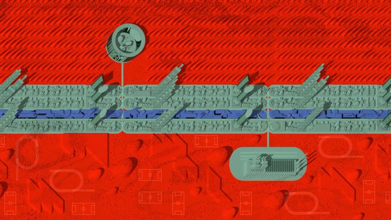

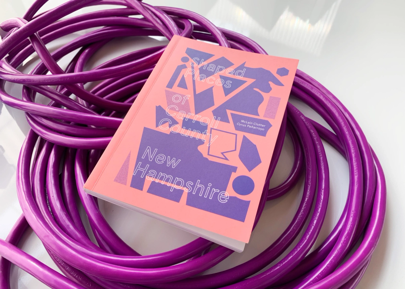

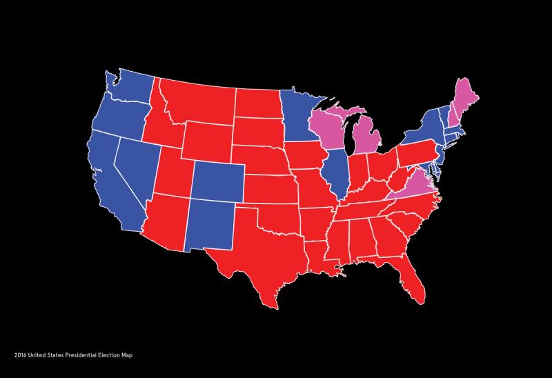

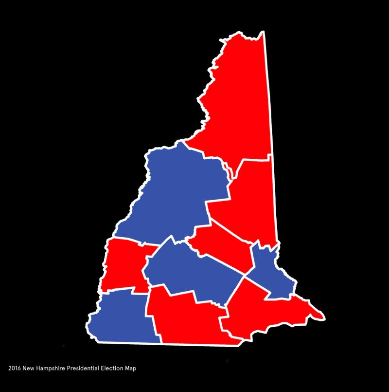

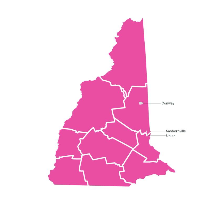

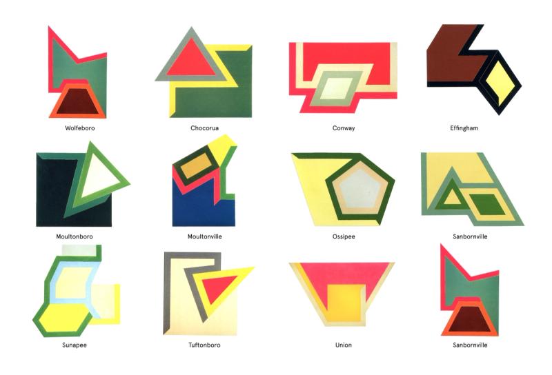

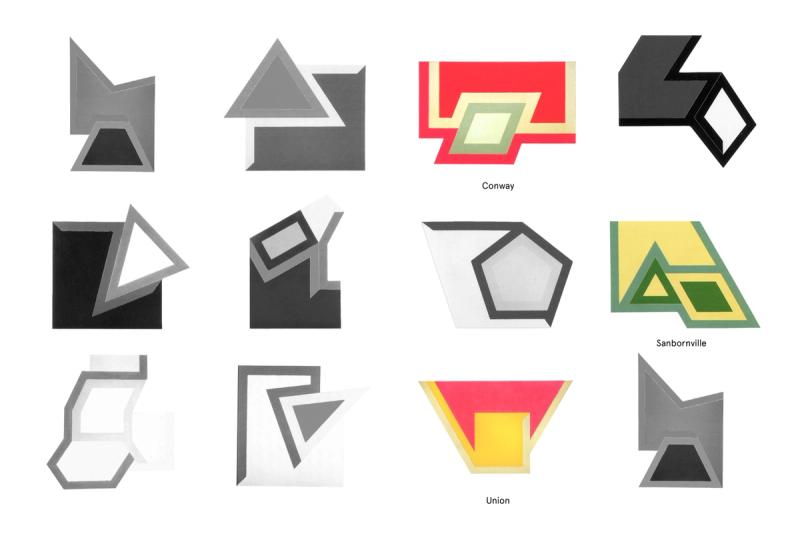

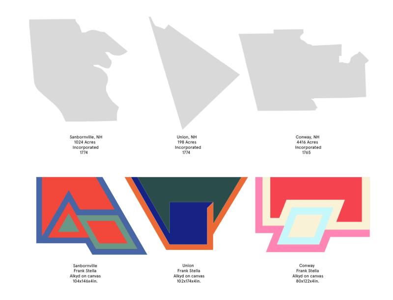

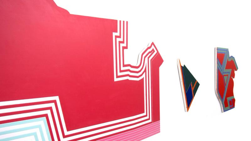

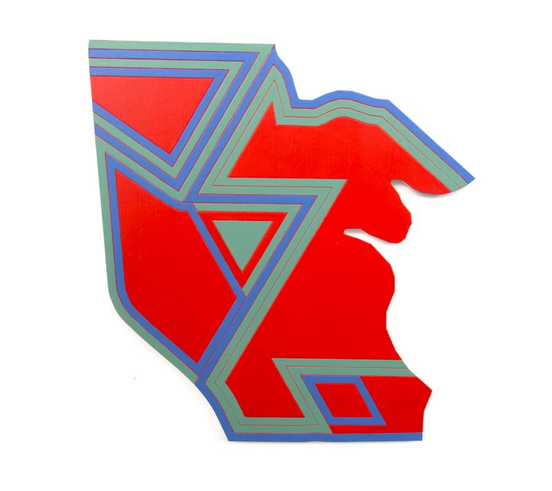


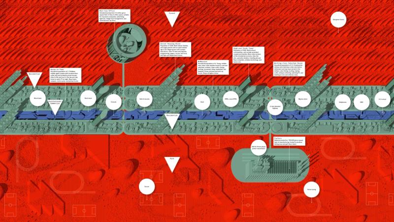

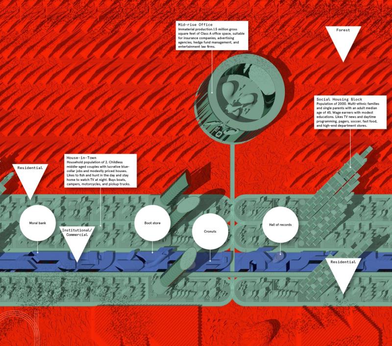

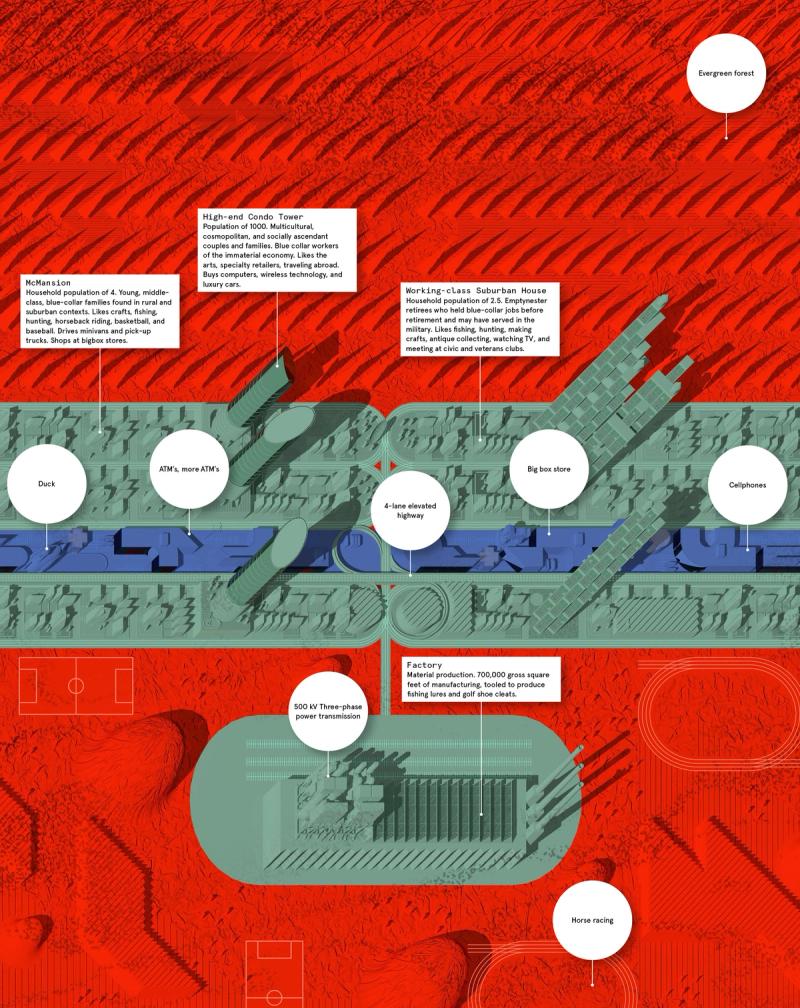

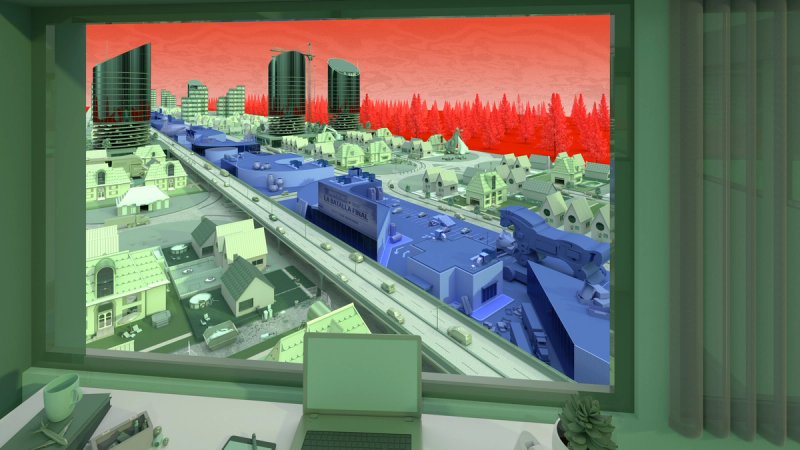

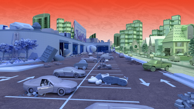

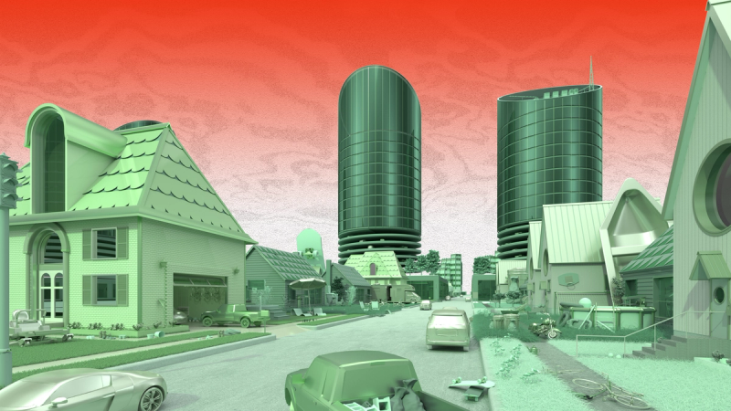

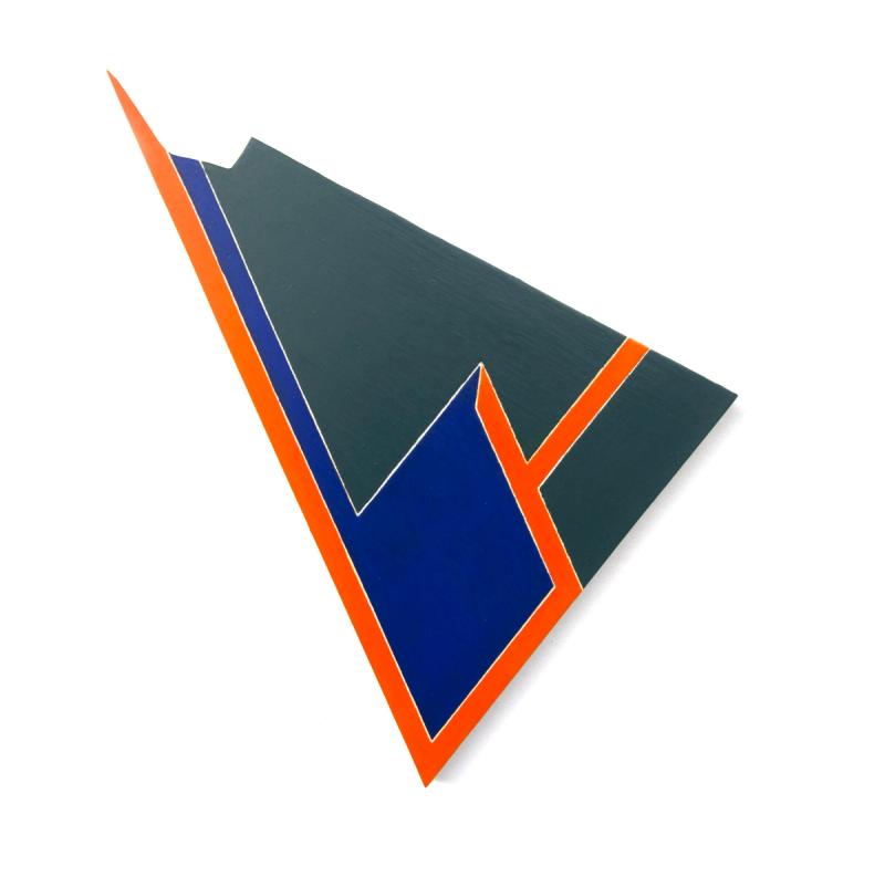

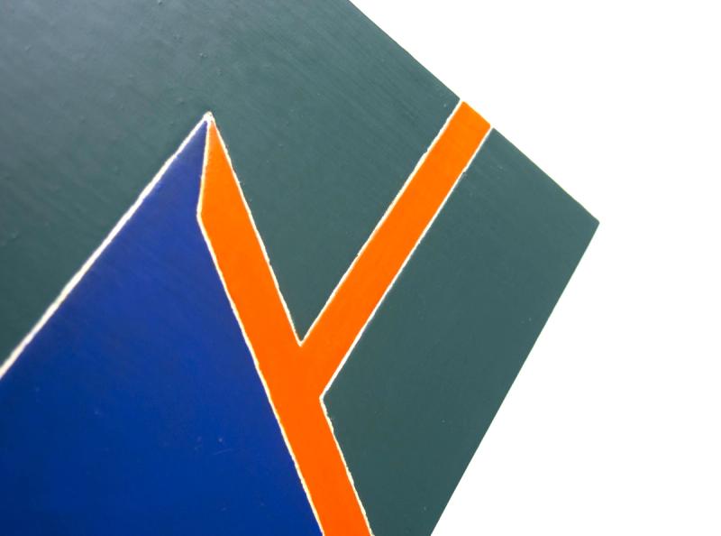

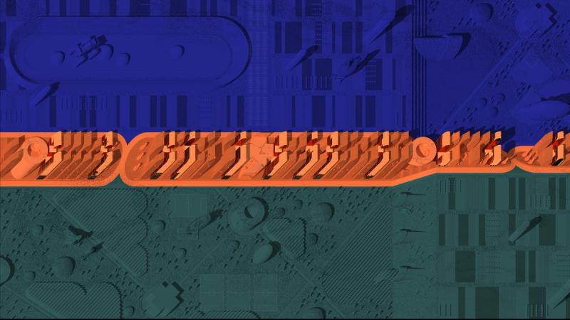

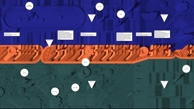

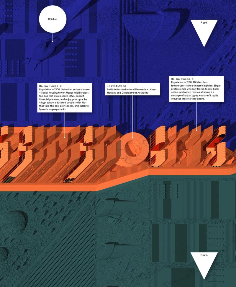

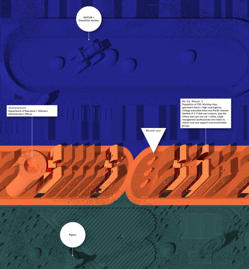

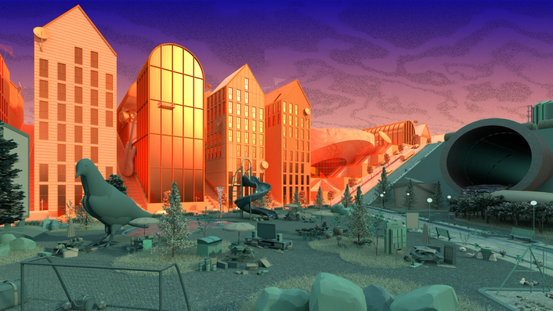

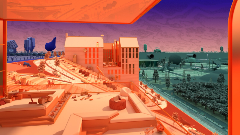

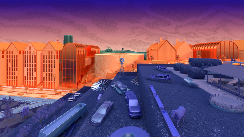

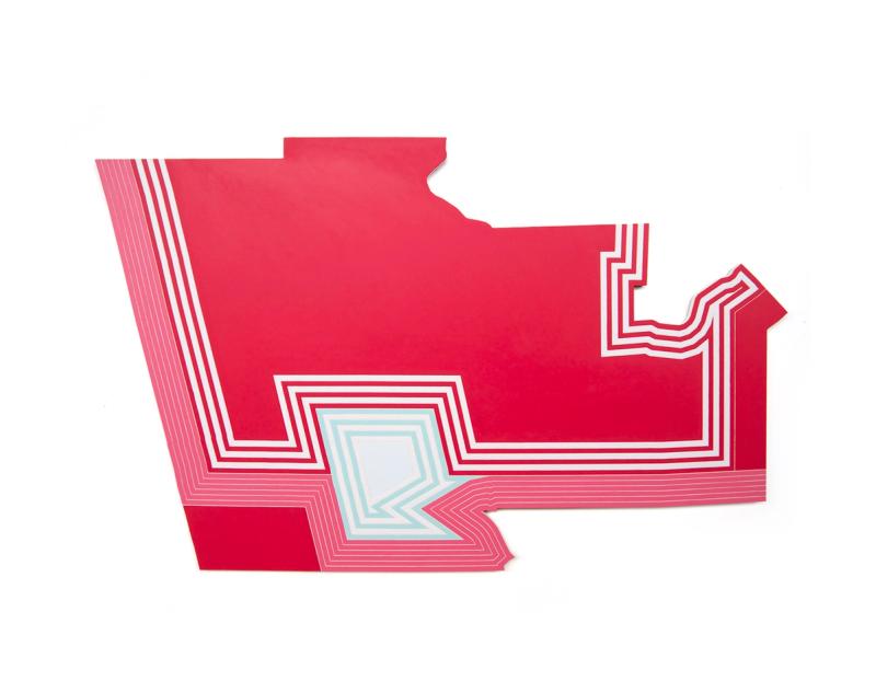

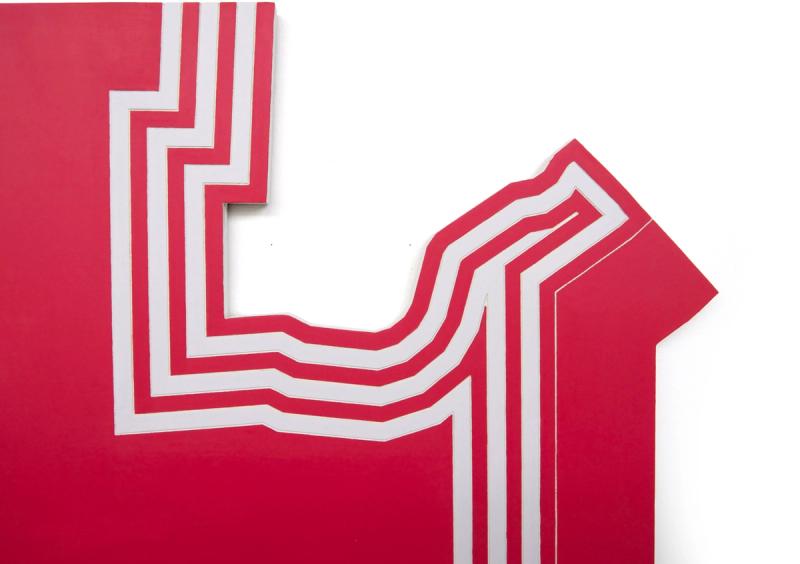

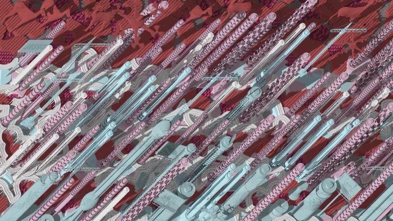

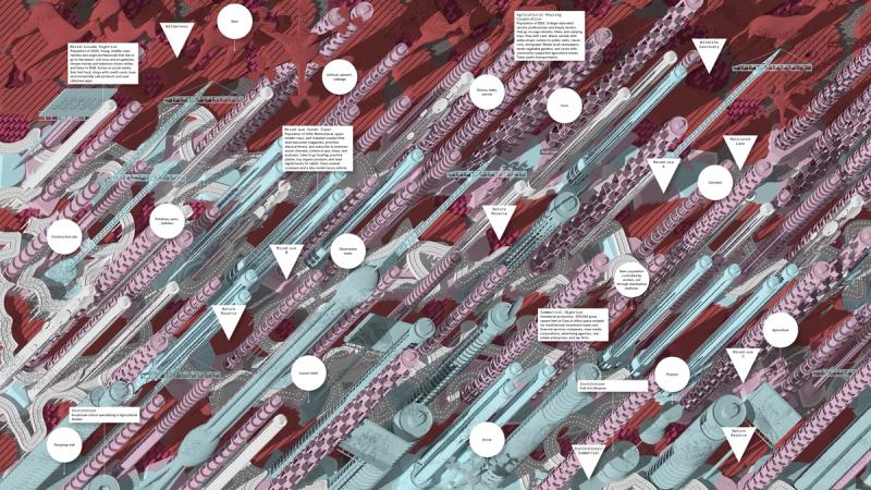

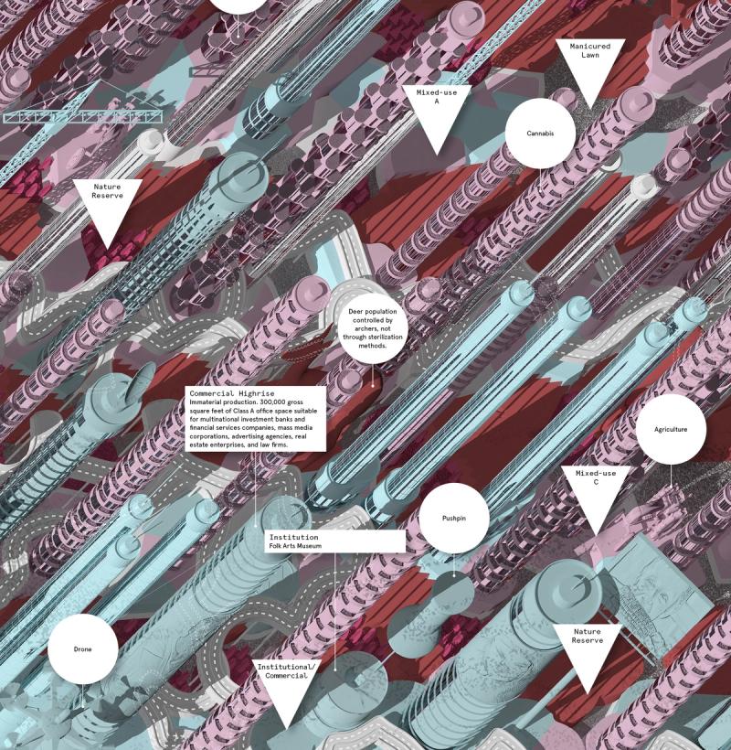

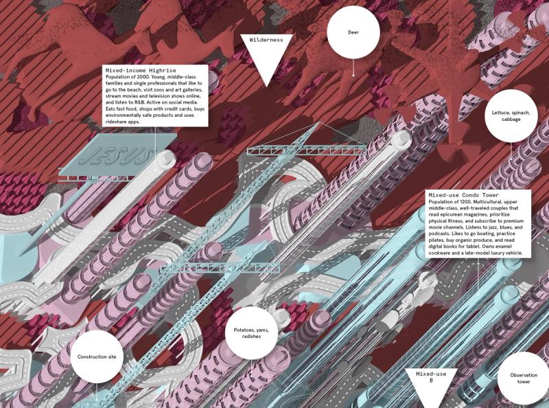

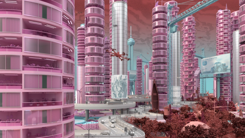

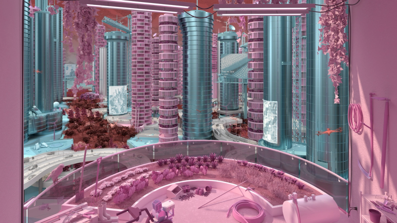

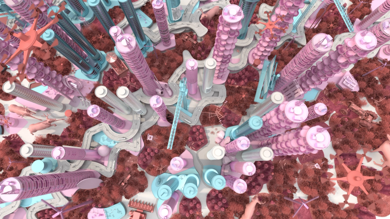

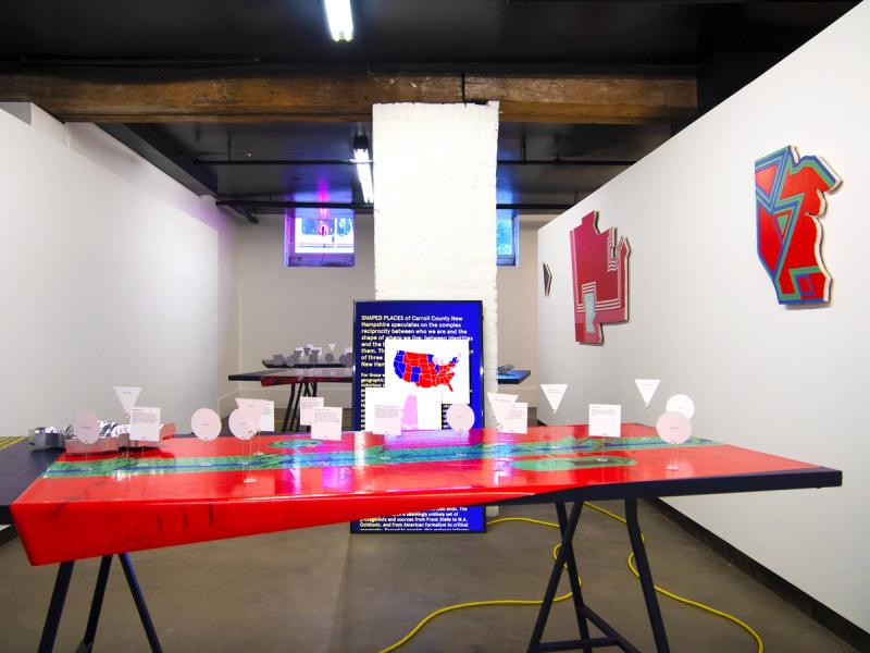

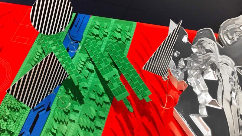

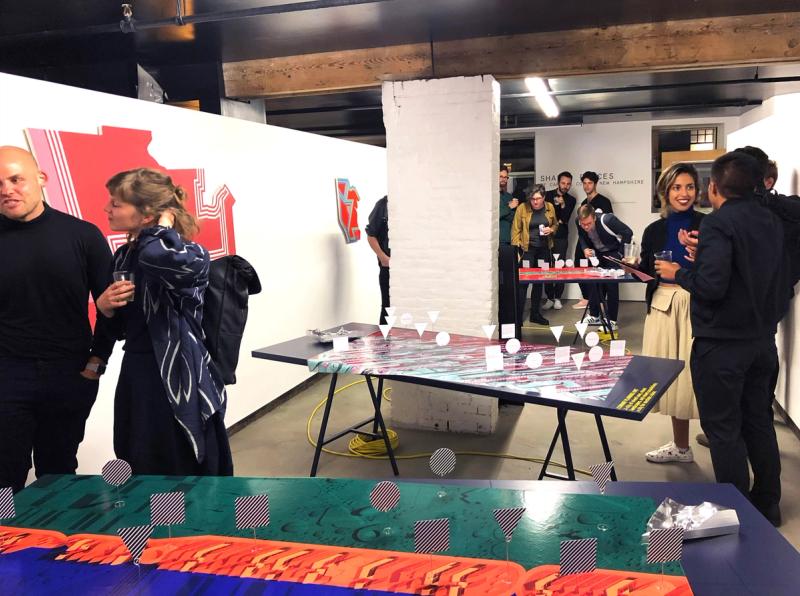

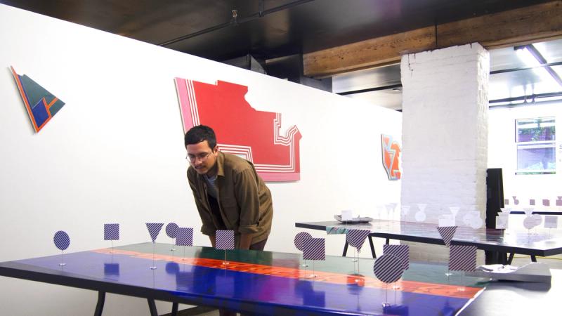

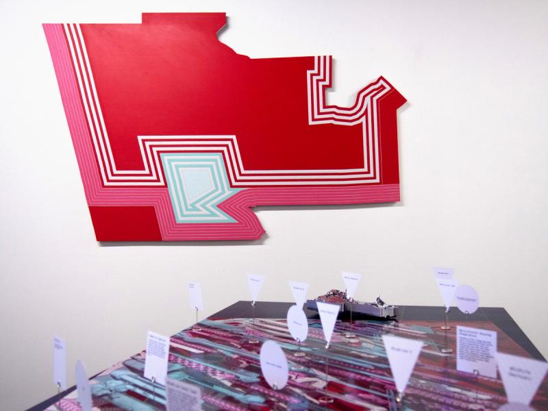


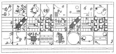

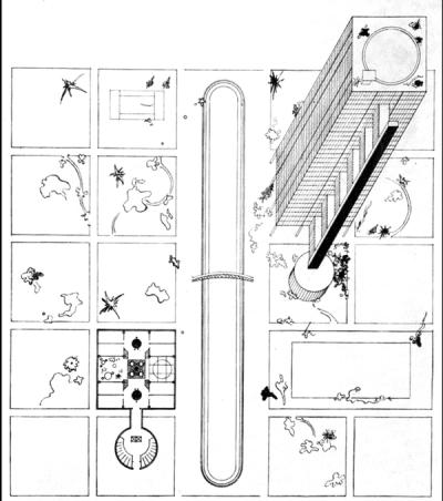

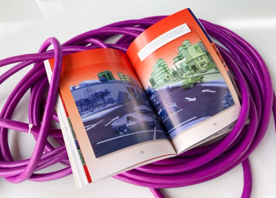
Shaped Places of Carroll County New Hampshire is a spatiopolitical satire about the reciprocity between the identities of political subjects and the built environments that support them. Composing a critical essay and three speculative urban design proposals, the project prompts reflection on the role of the built environment in reinforcing the political divide within the United States, as that divide maps onto the division between urban and rural territories. The work draws upon a purposely absurd combination of references, weaving discussion of urban data collection with analysis of the political geography of New Hampshire, Frank Stella’s Irregular Polygons, and early 20th century deurbanist linear cities. Throughout the analysis, common themes emerge and intertwine, such as the dialogue between shape and content, urban and rural territories, and populations and the precincts in which they are counted. These themes inform the design of three linear cities in Carroll County, New Hampshire. The population of each linear city is organized at a geographic scale to force an agonistic collision of urban and rural lifestyles, as novel adjacencies emerge from the linear patterns of development. Winner of The Architect’s Newspaper “Best of Design Award for Representation” in 2019 and an ACSA Faculty Design Award in 2020. Authors: McLain Clutter, Cyrus Peñarroyo Contributors: Robert Fishman, Clare Lyster Publisher: ORO Editions Assistants: Mike Amidon, Maggie Cochrane, Lucas Denit, Pedro Duhart Benavides, Reed Miller, Anne Redmond, Craig Zehr Year: 2016–21 Shaped Places of Carroll County New Hampshire can be purchased here.